search
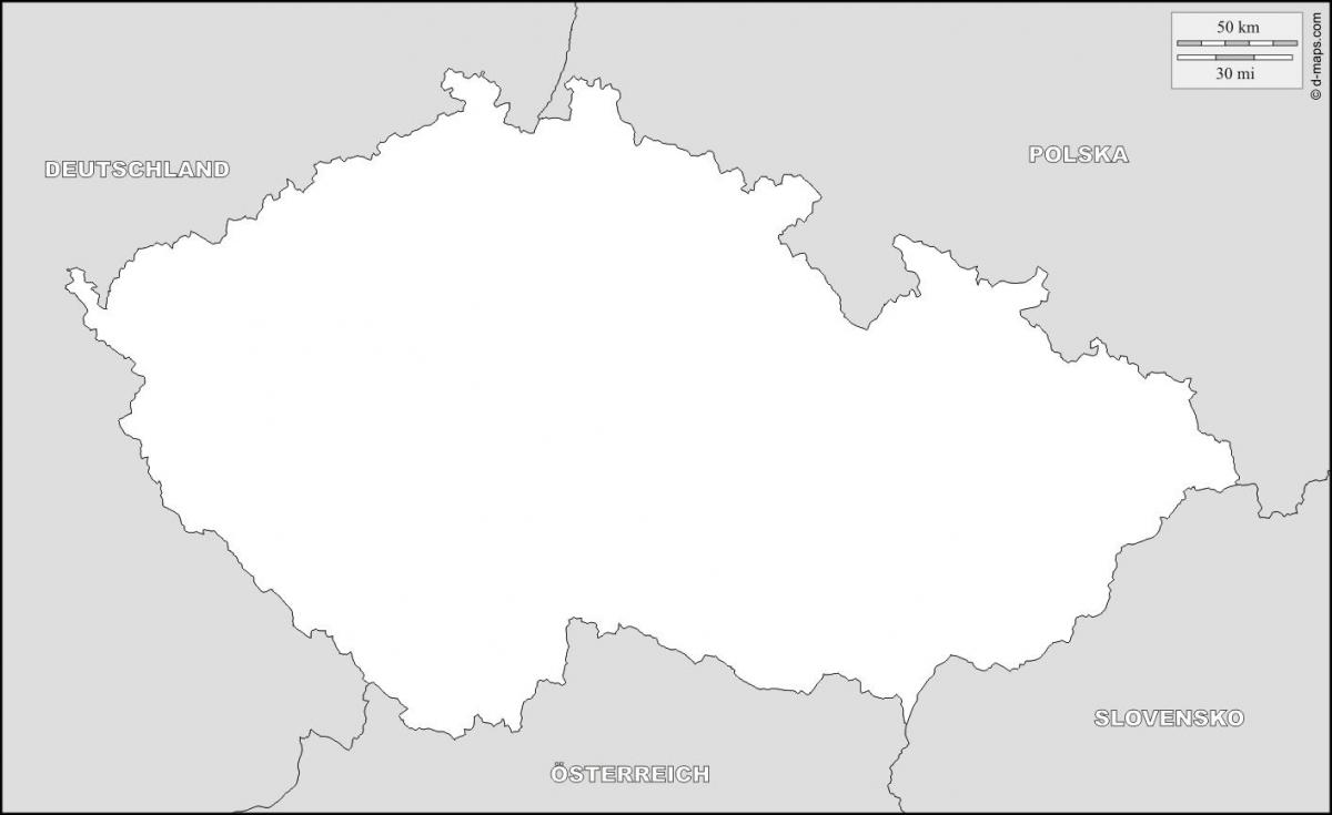
Czech republic map outline
Czechia outline map. Czech republic map outline (Eastern Europe - Europe) to print. Czech republic map outline (Eastern Europe - Europe) to download. The Czech Republic, a landlocked Central European country, covers an area of 78,866 square kilometers (30,450 sq mi) as its shown in Czech republic map outline. It is geographically positioned both in the Northern and Eastern hemispheres of the earth. Czech Republic is bordered by 4 nations: by Poland in the north and northeast; by Slovakia in the east; by Austria in the south and by Germany in the west and northwest.
Czech republic slightly smaller than South Carolina; slightly larger than Scotland as its mentioned in Czech republic map outline. Its total land boundaries 1,881 km (1,169 mi). Total boundaries border countries of Czech republic: Austria 362 km (225 mi), Germany 815 km (506 mi), Poland 658 km, Slovakia 215 km (134 mi).


